While higher altitude hikes come with the possibility of running into snow or route closures this time of year, Skagit County has plenty of low elevation trails that are open year-round. Here are just a few options for winter hikes in Skagit County.
 Anacortes Community Forest Lands
The City of Anacortes may mostly be associated with ferries and salt water, but its location on Fidalgo Island also provides bountiful greenery. In fact, the city has nearly 3,000 acres of community forest lands with meadows, lakes, wetlands and over 50 miles of multi-use trails.
Among those trails, consider taking the Sugarloaf Loop, a 1.91-mile hike with only about 600 feet of elevation gain on the way to the scenic summit of Sugarloaf Mountain.
Easy Trail Loop, which has little elevation gain and leisurely encircles Whistle Lake, covers 3.59 miles of ground, while the similarly-elevated 3.45-mile Cranberry Lake Loop features plenty of easily-accessible paths and access to nature’s healing sights and sounds.
For a greater challenge nearby, the Mount Erie Loop covers 4.19 miles and features over 1,100 feet of elevation gain.
There are numerous ways to hike these areas, and maps are strongly recommended if you wish to best know where you’re going.
Port of Skagit Nature Trails
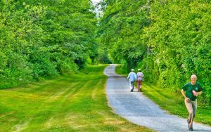
The Port of Skagit provides more than 10 miles of nature trails for walking, running and biking, just off Highway 20 between Anacortes and Burlington. Among these, the Skagit Nature Trail Loop is a nice and flat 2.1-mile path that takes less than an hour to complete.
Deception Pass Park/Recreation Area
On the Fidalgo Island side of Washington’s iconic Deception Pass Bridge, you’ll find several miles of trails inside the Deception Pass Recreation Area with plenty of great marine views.
At Washington Park, a relatively flat 3.25-mile loop provides fantastic views of the San Juan Islands on a clear day. An even shorter 1.69-mile Rosario Head Loop, which begins at a parking lot at Deception Pass Shores, is an equally terrific option for island scenery.
At Sharpe Park, the Sunburst Trail Loop is a lovely 1.87-mile jaunt, while the Lottie Point Loop Trail is another roughly 3 miles of waterfront views, including Deception Pass Bridge.
Samish Overlook and Oyster Dome
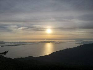
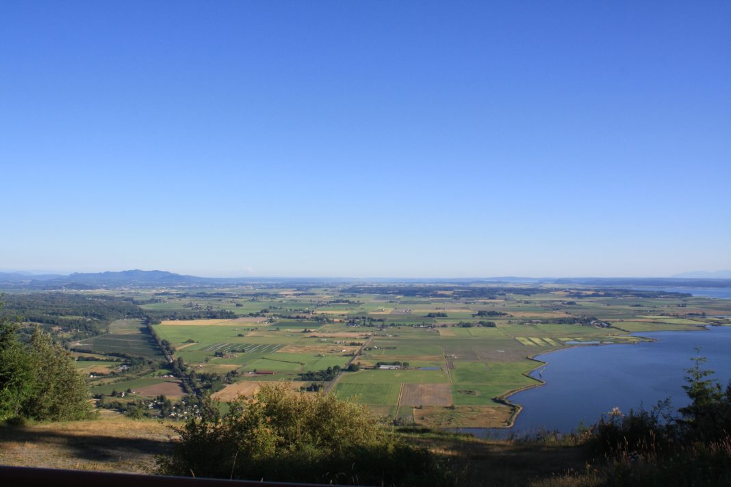
Last but certainly not least on this list, hikes to both Samish Overlook and Oyster Dome can be completed year-round, and offer spectacular views of the Skagit Valley, Samish Bay, San Juan Islands and, on a perfectly clear day, even Mount Rainier and the Olympics.
These hikes can be taken together, separately, or from different starting points. Consider taking the steeper 1.8-mile hike to Samish Overlook from the bottom of Chuckanut Drive – be warned that parking can be an issue – or continue straight up to Oyster Dome at the fork for the most mileage, 5.4 miles roundtrip, and challenge.
The commonly-preferred hiking route is to drive the 4.5 miles of gravel road to the Samish Overlook after taking the Alger exit – exit 240 – from Interstate 5. If you choose this method, keep in mind a Discover Pass is required at the parking lot.
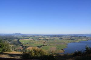
From Samish Overlook, the Oyster Dome is about 1.7 miles each way, with plenty of curving switchbacks and roughly 1,000 feet of elevation gain. If you’re out of shape, this will be a taxing hike. If you’re in great shape, it’ll be fun.
Winter Hiking Tips
Regardless of where you choose your next hike, walk or run, be sure to stay hydrated, let someone know where you’re going, and do some pre- and post-activity stretching. Weart plenty of layers because the weather can change quickly in the winter. Make sure to have waterproof outerwear and shows – a change of clothes is always good idea too.


